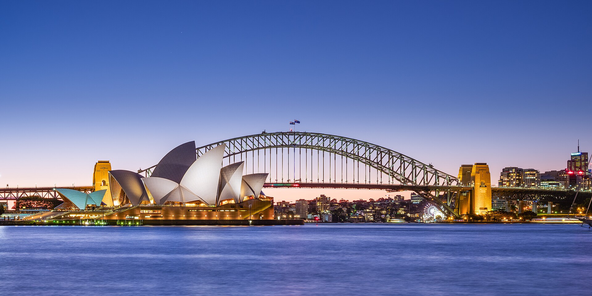
Sydney
Includes Bondi, Dover Heights, Rose Bay, St Ives.
85/100
Quieter than usual
Based on 8 events over 60 weeks.
55/100
Jewish community
Based on Jewish population, synagogues, kosher food, mikvah and Chabad.
No verified figure yet for Jewish schools.
How scores work. We never blend the two into one number.
- Jewish population
- 37,879
- Australian Bureau of Statistics, Census of Population and Housing 2021, table G14 (religious affiliation by sex), Judaism, persons, 2021
- Synagogues
- 25
- checked 25 Oct 2026
- Kosher food
- 71
- checked 25 Oct 2026
Safety in Sydney
Not safety advice. Not an emergency service.
Safety Score
85 Quieter than usual
Based on 8 events over 60 weeks.
Up 10 in the last 4 weeks (quieter).
Few events have been reported here, so this score leans on Australia as a whole.
The score compares Sydney with its own recent past. Compare it only with other cities in Australia.
Official figure
662 antisemitic incidents recorded in NSW (1 Oct 2024 - 30 Sep 2025).
Source: ECAJ (Executive Council of Australian Jewry) - Report on Anti-Jewish Incidents in Australia 2025, 2025.
Events in the last 12 months
| Assault | 0 |
|---|---|
| Attack or plot | 1 |
| Vandalism | 3 |
| Threat or harassment | 4 |
| Campus or institutional | 0 |
| Total | 8 |
Published events dated since 11 Nov 2025. See them in the feed.
Government travel advisory
Level 1 Exercise normal precautions
Source: US State Department, issued 18 Aug 2026; read 11 Nov 2026. It covers all of Australia, not just Sydney.
Two questions for people who know Sydney
Would you wear a Magen David here?
Not enough reports yet.
Could you be visibly observant here?
Not enough reports yet.
One answer per question per device. Results appear once 20 people have answered. Answers are opinions, not checked facts.
Seen an antisemitic incident in Sydney? Report it to us.
Jewish places in Sydney
Synagogues
25 · checked 25 Oct 2026
- Beis Menachem Chabad - Dover Heights Shule Blake St &, Napier St, Dover Heights NSW 2030, Australia Source: Google Maps
- Bet Yosef (The Caro Synagogue) 243 Old South Head Rd, Bondi NSW 2026, Australia Source: Google Maps
- Bondi Mizrachi Synagogue 339 Old South Head Rd, North Bondi NSW 2026, Australia Source: Google Maps
- Chabad North Shore 27 College Cres, St Ives NSW 2075, Australia Source: Google Maps
- Chabad of Bondi 105a Wellington St, Bondi Beach NSW 2026, Australia Source: Google Maps
- Coogee Synagogue 121 Brook St, Coogee NSW 2034, Australia Source: Google Maps
- Cremorne Synagogue 12A Yeo St, Neutral Bay NSW 2089, Australia Source: Google Maps
- Emanuel Synagogue 7 Ocean St, Woollahra NSW 2025, Australia Source: Google Maps
- Kehillat Kadimah Synagogue 666 Old South Head Rd, Rose Bay NSW 2029, Australia Source: Google Maps
- Kehillat Masada Synagogue 9-15 Link Rd, St Ives NSW 2075, Australia Source: Google Maps
- Kehillat Moriah 101 York Rd, Queens Park NSW 2022, Australia Source: Google Maps
- Maroubra Synagogue 635 Anzac Parade, Maroubra NSW 2035, Australia Source: Google Maps
- Nefesh Synagogue Bondi 54 Roscoe St, Bondi Beach NSW 2026, Australia Source: Google Maps
- Newtown Synagogue 20 Georgina St, Newtown NSW 2042, Australia Source: Google Maps
- North Shore Synagogue 15 Treatts Rd, Lindfield NSW 2070, Australia Source: Google Maps
- North Shore Temple Emanuel 28 Chatswood Ave, Chatswood NSW 2067, Australia Source: Google Maps
- Ohel Chaim Chapel, Macquarie Park Cemetery Main Ave, Macquarie Park NSW 2113, Australia Source: Google Maps
- Parramatta & District Synagogue 116 Victoria Rd, North Parramatta NSW 2151, Australia Source: Google Maps
- Sephardi Synagogue Sydney 40-44 Fletcher St, Woollahra NSW 2025, Australia Source: Google Maps
- Southern Sydney Synagogue 502 Railway Parade, Allawah NSW 2218, Australia Source: Google Maps
- Sydney’s Shul 55 Anglesea St, Bondi NSW 2026, Australia Source: Google Maps
- The Central Synagogue 15 Bon Accord Ave, Bondi Junction NSW 2022, Australia Source: Google Maps
- The Great Synagogue 166 Castlereagh St, Sydney NSW 2000, Australia Source: Google Maps
- Tzemach Tzedek Community Centre 1 Penkivil St, Bondi NSW 2026, Australia Source: Google Maps
- Yeshiva Centre - Chabad NSW HQ 36a Flood St, Bondi Beach NSW 2026, Australia Source: Google Maps
Chabad houses
8 · checked 25 Oct 2026
- Chabad Double Bay 2 Kiaora Rd, Double Bay NSW 2028, Australia Source: Google Maps
- Chabad House Sydney - בית חבד למטיילים ישראלים 427 Old South Head Rd, North Bondi NSW 2026, Australia Source: Google Maps
- Chabad North Shore 27 College Cres, St Ives NSW 2075, Australia Source: Google Maps
- Chabad of Bellevue Hill Ltd 196 Old South Head Rd, Bellevue Hill NSW 2023, Australia Source: Google Maps
- Chabad of Bondi 105a Wellington St, Bondi Beach NSW 2026, Australia Source: Google Maps
- Chabad of the City of Sydney, CBD and Surrounding Suburbs Hyde Park, Sydney NSW 2000, Australia Source: Google Maps
- Ohel Avraham - Chabad for Israelis 243 Old South Head Rd, Bondi NSW 2026, Australia Source: Google Maps
- Yeshiva Centre - Chabad NSW HQ 36a Flood St, Bondi Beach NSW 2026, Australia Source: Google Maps
Kosher food
71 · checked 25 Oct 2026
- Alyra cafe 64 Richmond Rd, Blacktown NSW 2148, Australia Source: Google Maps
- Chapter E 201 Darlinghurst Rd, Darlinghurst NSW 2010, Australia Source: Google Maps
- Cheeky Pea Unit 2/498 Bunnerong Rd, Matraville NSW 2036, Australia Source: Google Maps
- Chosen Cuts Shop 2/51/53 Spring St, Bondi Junction NSW 2022, Australia Source: Google Maps
- Coles Bondi Junction Spring St &, Eastgate Shopping Centre, Newland St, Bondi Junction NSW 2022, Australia Source: Google Maps
- Coles Bondi Westfield Westfield Bondi Junction, 500 Oxford St, Bondi Junction NSW 2022, Australia Source: Google Maps
- Coles East Village East Village, O'Dea Ave, Zetland NSW 2017, Australia Source: Google Maps
- Coles Eastgardens Bunnerong Rd, Pagewood NSW 2035, Australia Source: Google Maps
- Coles Lindfield 376/384 Pacific Hwy, Lindfield NSW 2070, Australia Source: Google Maps
- Coles Maroubra Junction Pacific Square, 737 Anzac Parade, Maroubra NSW 2035, Australia Source: Google Maps
- Coles Randwick 148 Belmore Rd, Randwick NSW 2031, Australia Source: Google Maps
- Coles St Ives Shopping Village, 166 Mona Vale Rd, St Ives NSW 2075, Australia Source: Google Maps
- Dadoun Butchery and Restaurant 1/293 Clyde St, South Granville NSW 2142, Australia Source: Google Maps
- Deli Fresco 55-91 Spring St, Bondi Junction NSW 2022, Australia Source: Google Maps
- DELI HUB St Ives Shopping Village, shop 66/166 Mona Vale Rd, St Ives NSW 2075, Australia Source: Google Maps
- Five Five Four 554 Old South Head Rd, Rose Bay NSW 2029, Australia Source: Google Maps
- Funky Pies Unit 2/144-148 Glenayr Ave, Bondi Beach NSW 2026, Australia Source: Google Maps
- Grandma Moses Bakery & Cafe Kensington 105-109 Anzac Parade, Kensington NSW 2033, Australia Source: Google Maps
- Harris Farm Markets Bondi Beach 61 Hall St, Bondi Beach NSW 2026, Australia Source: Google Maps
- Harris Farm Markets Randwick Shop 11/73-109 Belmore Rd, Randwick NSW 2031, Australia Source: Google Maps
- Hill's Butchery 56 Moverly Rd, Maroubra NSW 2035, Australia Source: Google Maps
- Jesse's Cafe 443-445 Old South Head Rd, Rose Bay NSW 2029, Australia Source: Google Maps
- JunEdelmuth Catering c/o Double Bay Bowling Club, Kiaora Rd, Double Bay NSW 2028, Australia Source: Google Maps
- Kemenys Liquor Store 137/147 Bondi Rd, Bondi NSW 2026, Australia Source: Google Maps
- Kepos Street Kitchen 96 Kepos St, Redfern NSW 2016, Australia Source: Google Maps
- Kibbutz Bondi Junction NSW 2022, Australia Source: Google Maps
- kosher food takeaway 427 Old South Head Rd, Rose Bay NSW 2029, Australia Source: Google Maps
- Krinsky's 173/175 Bondi Rd, Bondi NSW 2026, Australia Source: Google Maps
- L'amour Catering 54 Roscoe St, Bondi Beach NSW 2026, Australia Source: Google Maps
- Lewis' Continental Kitchen (Kosher) 91 Riley St, Darlinghurst NSW 2010, Australia Source: Google Maps
Jewish schools
Insufficient verified data
Mikvaot
2 · checked 25 Oct 2026
- Mikvah Aziza 662/666 Old South Head Rd, Rose Bay NSW 2029, Australia Source: Google Maps
- Sydney Mikvah 117 Glenayr Ave, Bondi Beach NSW 2026, Australia Source: Google Maps
Sources
| Figure | Source | Date |
|---|---|---|
| Jewish population | Australian Bureau of Statistics, Census of Population and Housing 2021, table G14 (religious affiliation by sex), Judaism, persons | 2021 |
| Synagogues | Google Maps | checked 25 Oct 2026 |
| Chabad houses | Google Maps | checked 25 Oct 2026 |
| Kosher food | Google Maps | checked 25 Oct 2026 |
| Mikvaot | Google Maps | checked 25 Oct 2026 |
| Official figure, NSW | ECAJ (Executive Council of Australian Jewry) - Report on Anti-Jewish Incidents in Australia 2025 | 1 Oct 2024 - 30 Sep 2025 |
| Travel advisory | US State Department | read 11 Nov 2026 |
| Events and Safety Score | News reports collected and grouped by us | newest 4 Aug 2026 |
Last updated . Photo: Benh LIEU SONG (Flickr) · CC BY-SA 4.0 · via Wikimedia Commons.
Not safety advice. Not an emergency service. If you are in danger, call your local emergency number.